Vik · Fjaðrárgljúfur · 2026-08-15
Tag 3: Von Smaugs Einöde zu Game of ThronesDay 3: From Smaug's wasteland to Game of Thrones
Nach einer recht angenehmen Nacht am Campingplatz starteten wir den Tag mit einem klassischen Skyr / Bananen / Müsli - Frühstück und danach ging's direkt los mit einer kleinen Wanderung zu einem nahgelegenen Wasserfall - dem “Svartifoss”. Nachdem jeder weiß was für ein unfassbar motivierter Wanderer ich bin, war mein Ziel den Svartifoss so rasch als möglich zu erreichen. Angeschrieben beim Camp mit ca. 45 Minuten Gehzeit, kamen wir nach 24 Minuten beim Svartifoss an. Patricias Wanderlust schien zeitweise etwas weniger glücklich damit aber so macht sogar mir wandern Spaß. (dafür genossen wir die Zeit beim Wasserfall und dem Drumherum dann umso mehr).
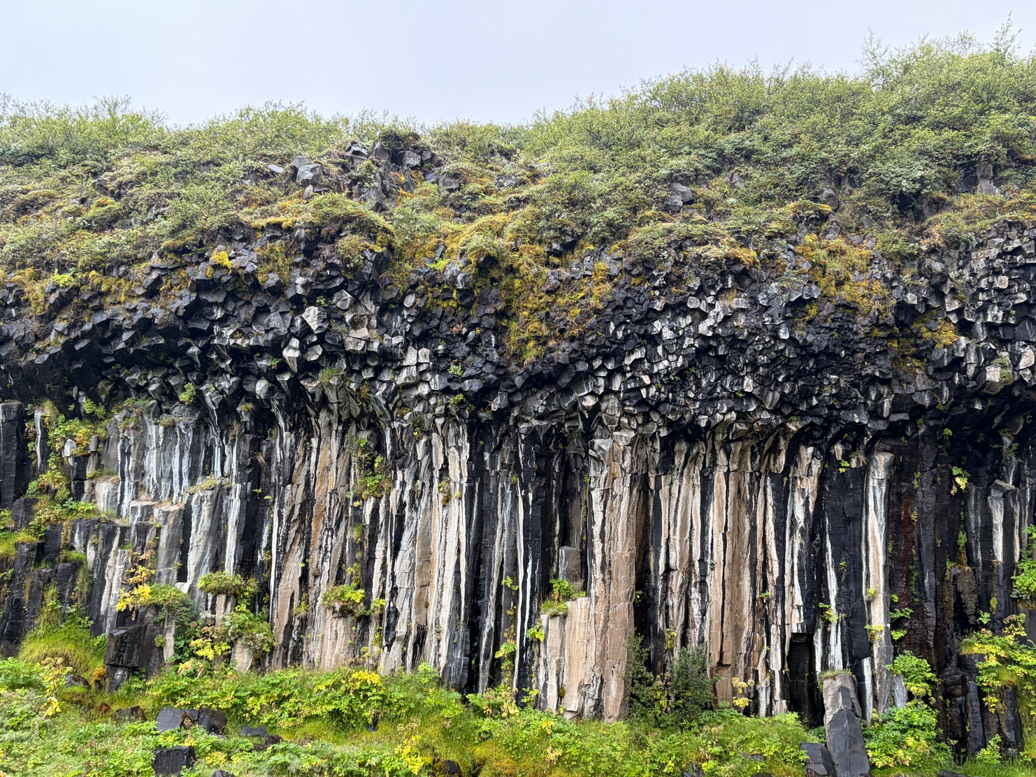
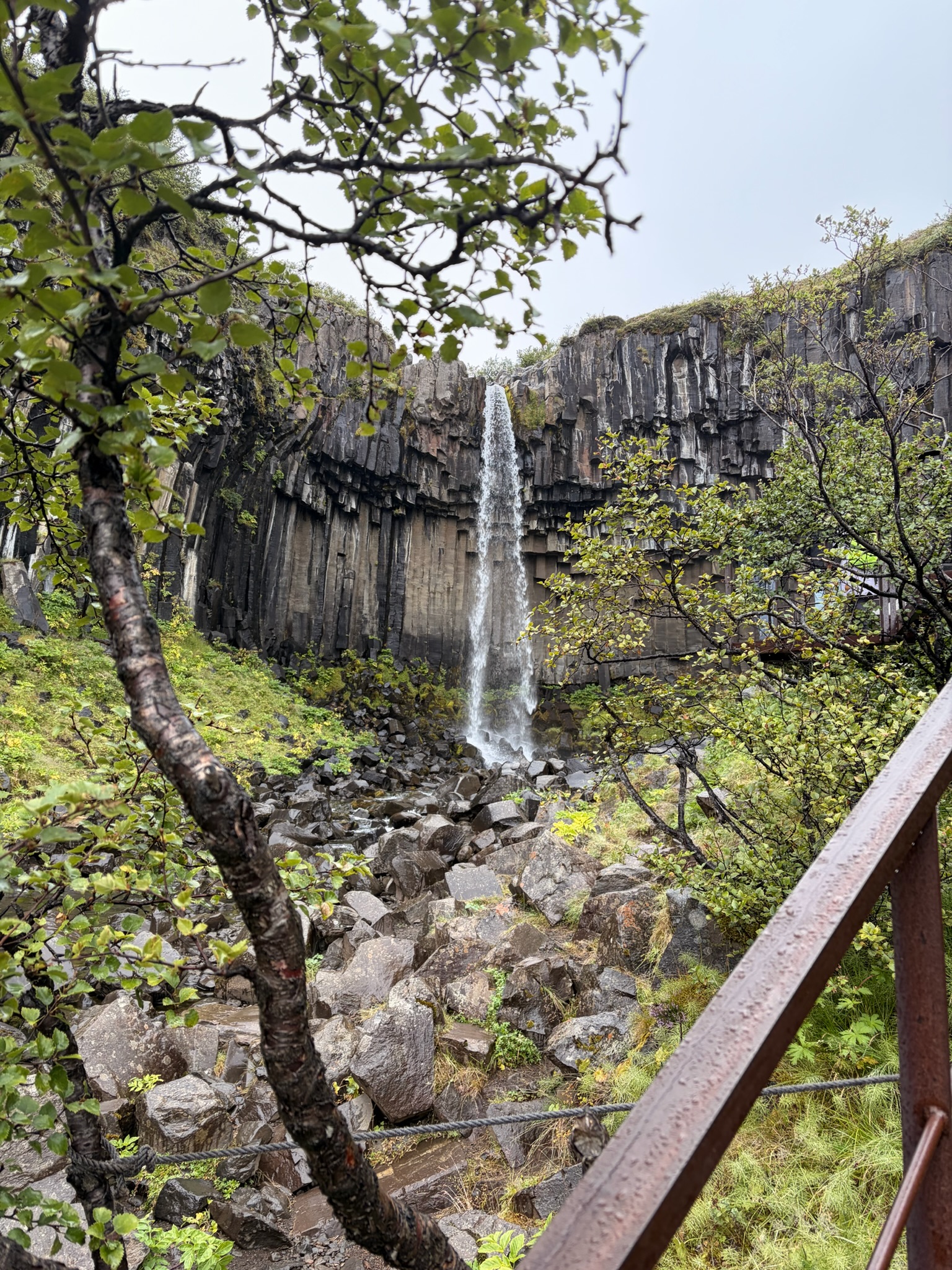
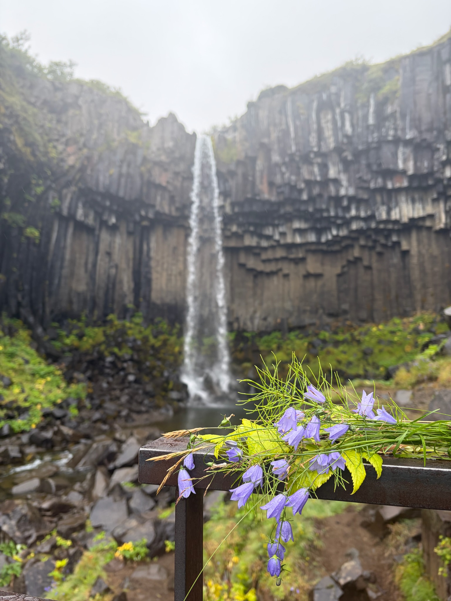
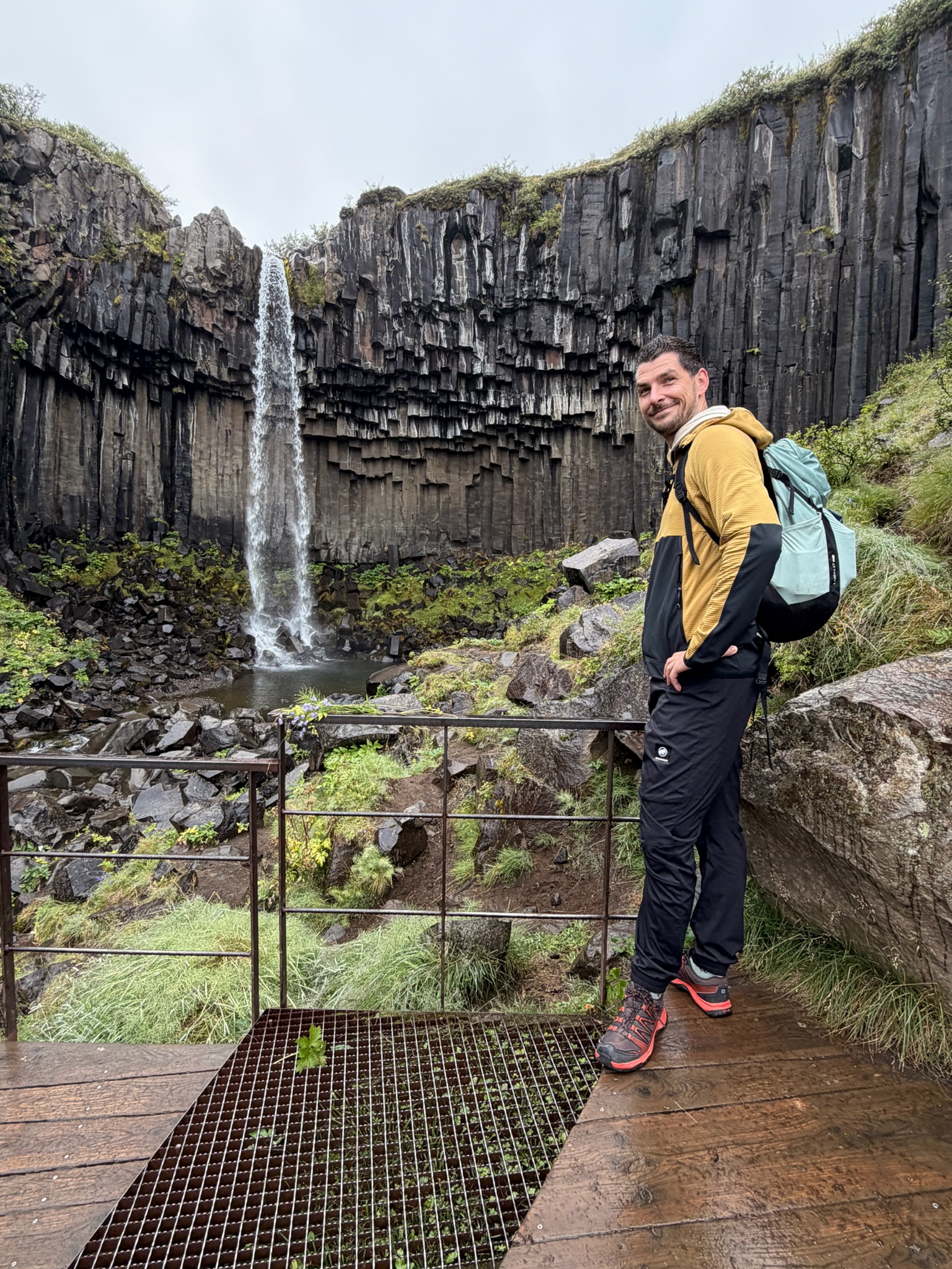
Der Svartifoss ist ein für Island typischer Wasserfall der in dem Fall aber aus “umgekehrten” Basaltsäulen besteht. Basalt ist das Gestein, das beim Ausbruch von Vulkanen entsteht, durch die Abkühlung über Zeit vertikale Risse bekommt und diese typische 6-eckige Form annimmt. Nachdem über die Jahrzehnte das Gestein dann den Gezeiten ausgesetzt ist, brechen immer wieder Teile dieser Säulen ab wodurch dann diese einzigartige Form entsteht. (natürlich stark vereinfacht erklärt - jedem Geologen wird's hier vermutlich den Magen umdrehen - but who cares?)
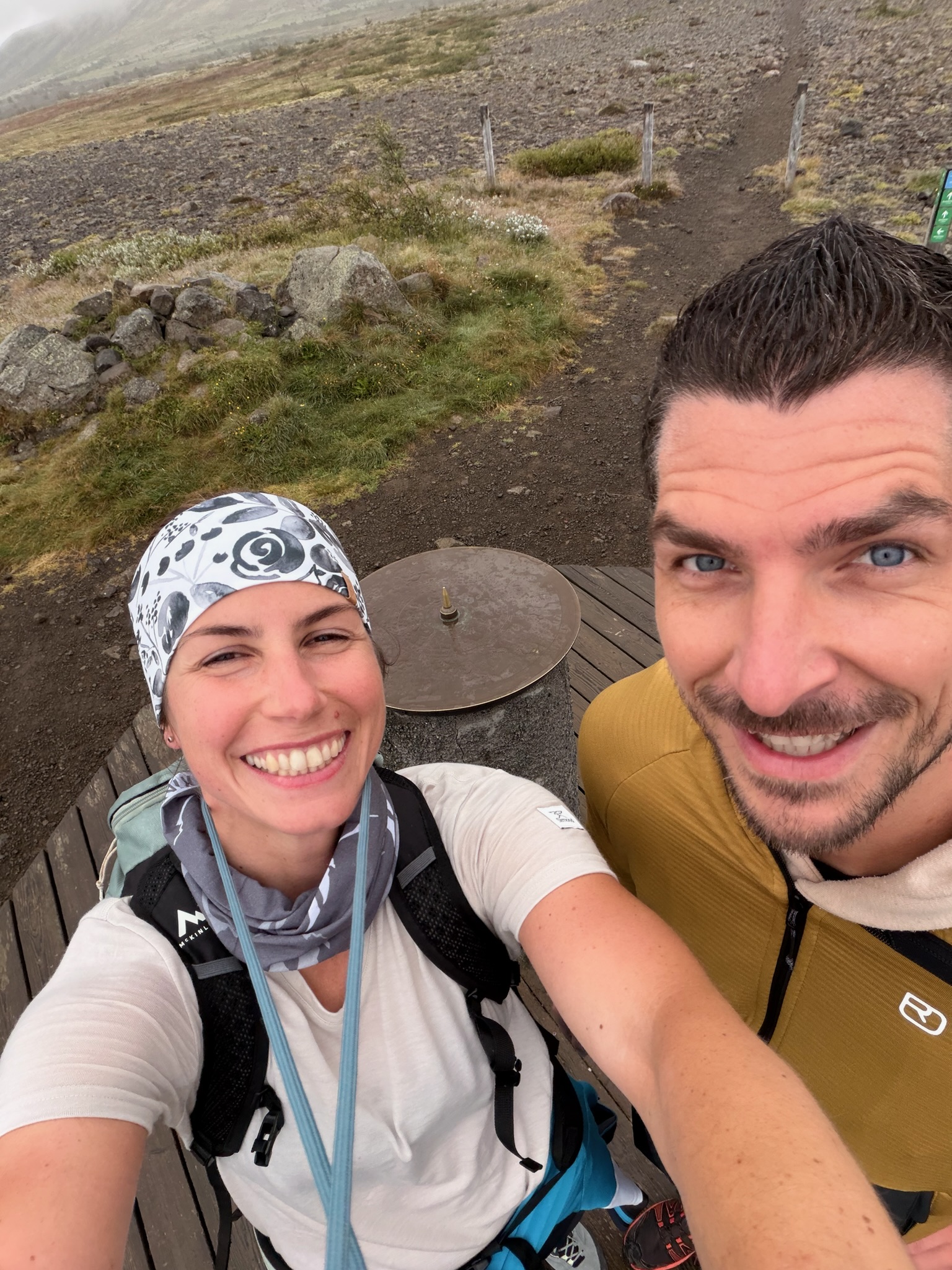
Folgend seht ihr ein paar der Eindrücke vom Svartifoss und dem “Gipfel” (ein Kompass auf Stahl geprägt mit den umliegenden populären Orten):
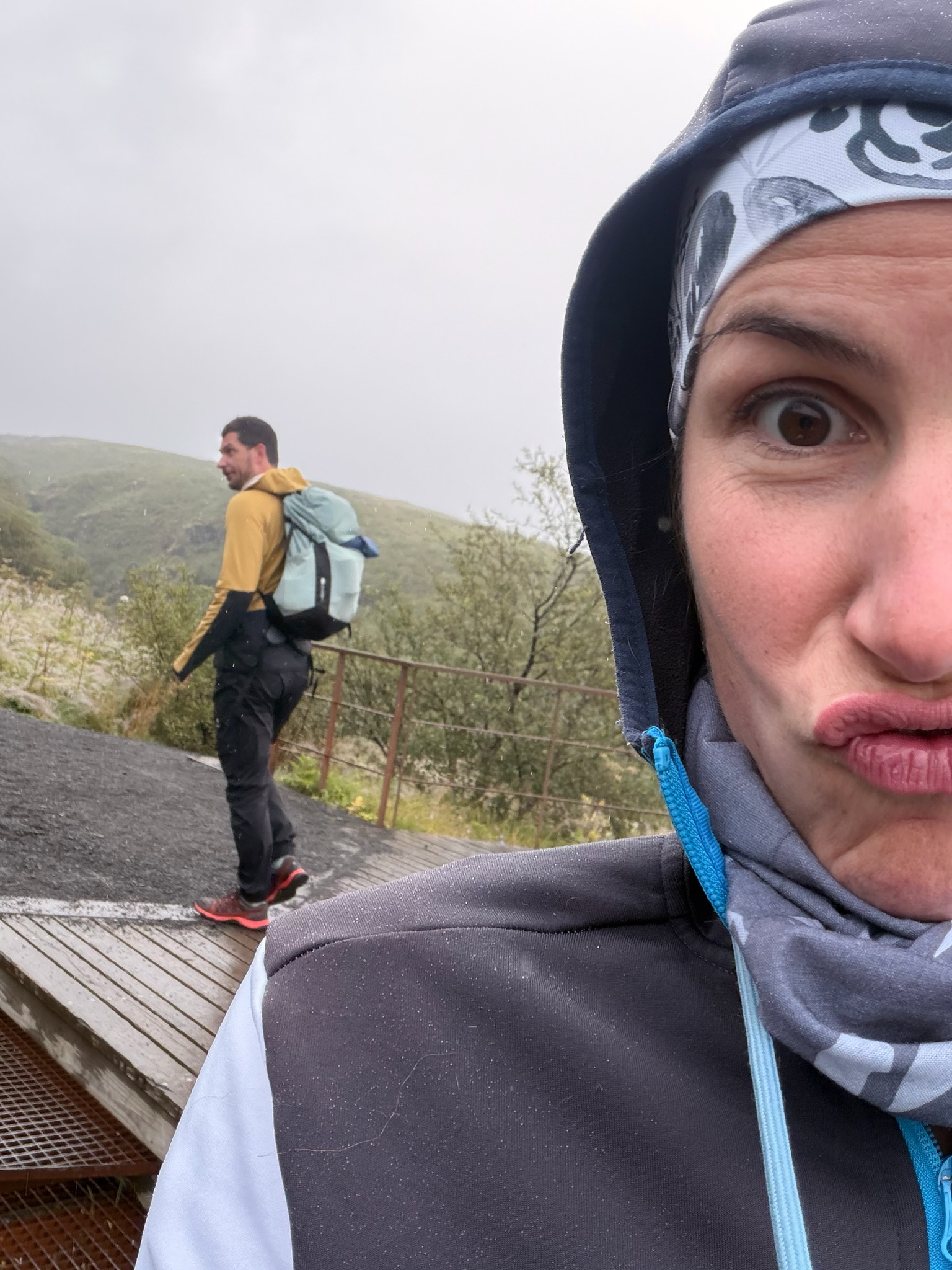
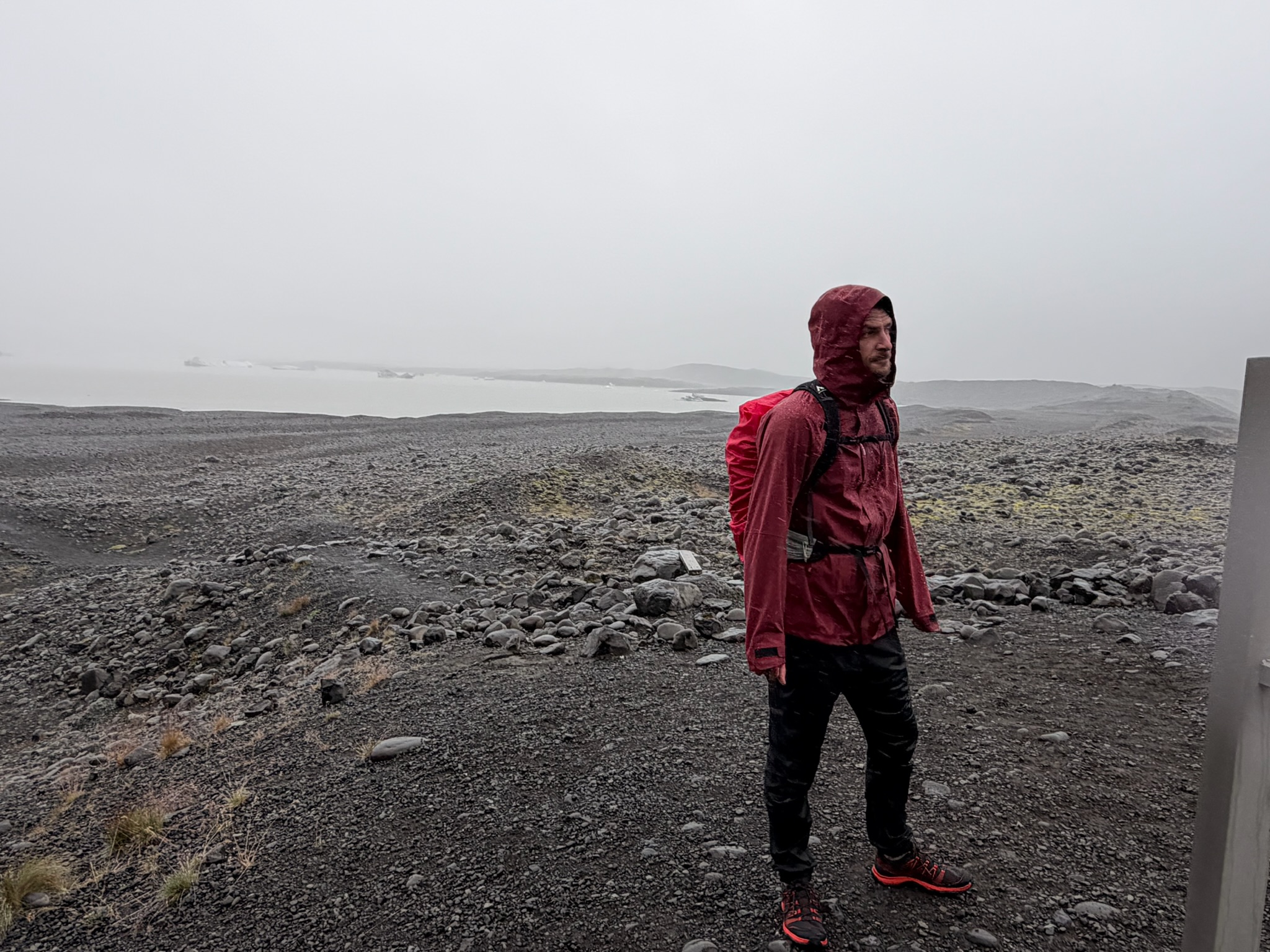
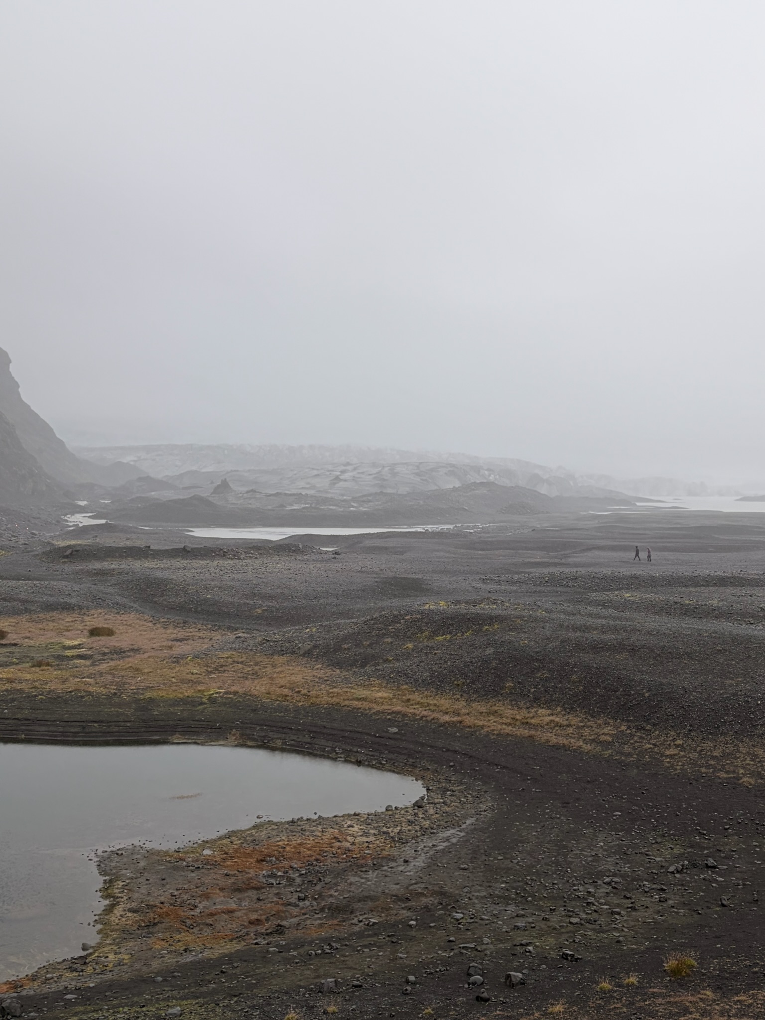
Danach ging's wieder runter Richtung Campingplatz und von dort noch in Richtung des Skfatafellsjoküll ("Joküll" = Gletscher) - in eigentlich recht kurzer Gehzeit wäre das Ende dieser Gletscherzunge zu sehen gewesen aber uns hat leider ein recht starker Regen überrascht, der uns dann zum Umkehren überredete. Aus der Distanz konnten wir aber trotzdem noch ein paar Blicke des Gletschersees mit darin schwimmenden Eisschollen erhaschen:
Aufgrund des Regens entschieden wir uns nach einer schnellen Dusche unser Camp abzubrechen und uns auf den Weg in Richtung unseres nächsten Stops zu machen. Der nächste Stop war ein recht bekannter Drehort in Game of Thrones und ein Ort der auch schon in vielen anderen Filmen und Musikvideos zu sehen war. Die Rede ist von einem Canyon namens “Fjadrargljufur”. Am Weg dorthin durchquerten wir die UNENDLICH wirkenden Schwemmländer südlich des Vatnajökull.
Wie Patci im vorherigen Artikel schon erwähnte, ist der Vatnajökull die größte durchgängige Eiskappe / Gletscher Europas - der 10% der gesamten Landesfläche Islands bedeckt. Würde man das gesamte Volumen des Gletschers auf ganz Island wie Butter verteilen, würde man damit eine 30-40m (!!) dicke Eisschicht über die GESAMTE Landesfläche Islands ziehen. (Funfact der uns von einem Ranger erzählt wurde)
Diese unfassbare Masse an Eis, hat natürlich zur Folge, dass aufgrund des menschengemachten Klimawandels und der daraus resultierenden Klimaerwärmung, große Teile des Gletschers schmelzen und dieses Schmelzwasser sich in bestimmten Arealen unterhalb des Gletschers sammelt. Zusätzlich kann dies natürlich auch aufgrund geothermaler Aktivitäten (vulkanische Eruptionen) passieren und ist in den letzten 800 Jahren ca. 80 mal passiert. Diese sogenannten “Outburst Floods" (Jökulhlaup) überschwemmen riesige Areale an Land südlich des Gletschers, wodurch diese Areale zu unbewohnbarem Schwemmland / Einöde werden.
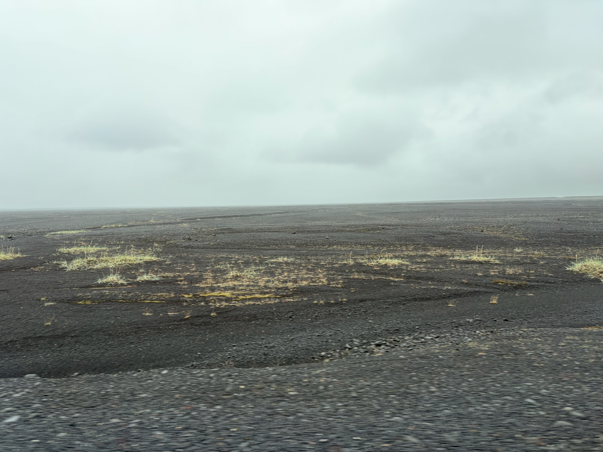
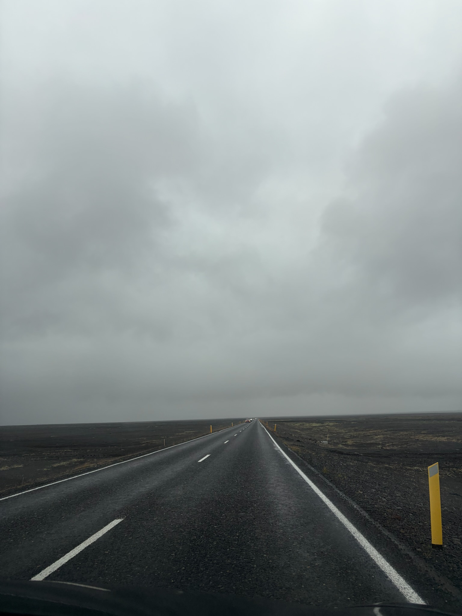
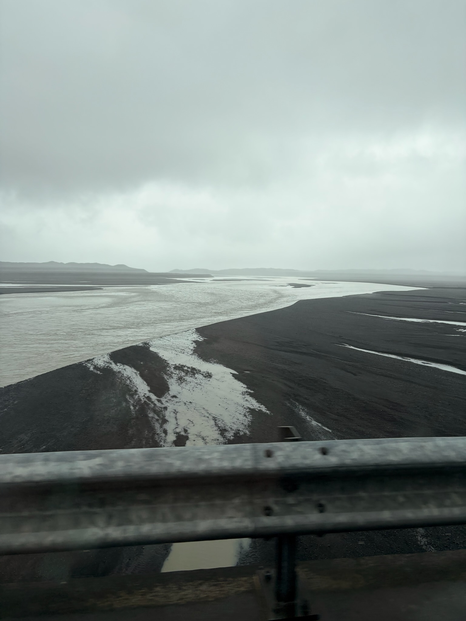
Daher auch der Titel dieses Blogs - kaum ein Ort würde besser als Drehort für “Smaugs Einöde” dienen - aber seht selbst:
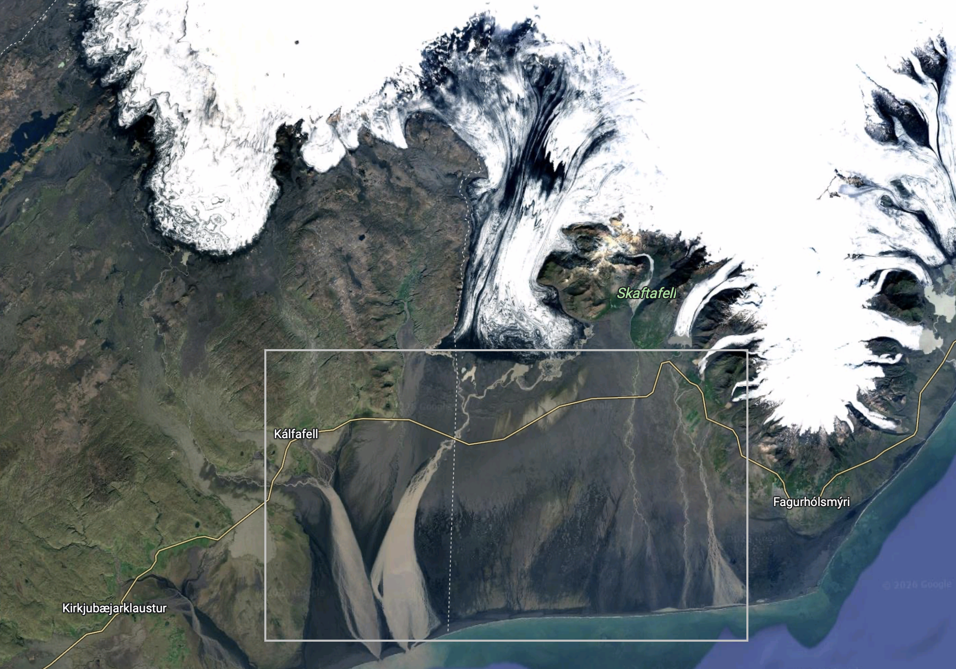
Hier seht ihr noch einen Ausschnitt des Areals auf Google Maps das als “Schwemmland” und damit unbewohnbares Areal gilt - in Summe sind das hier ca. 100qkm:
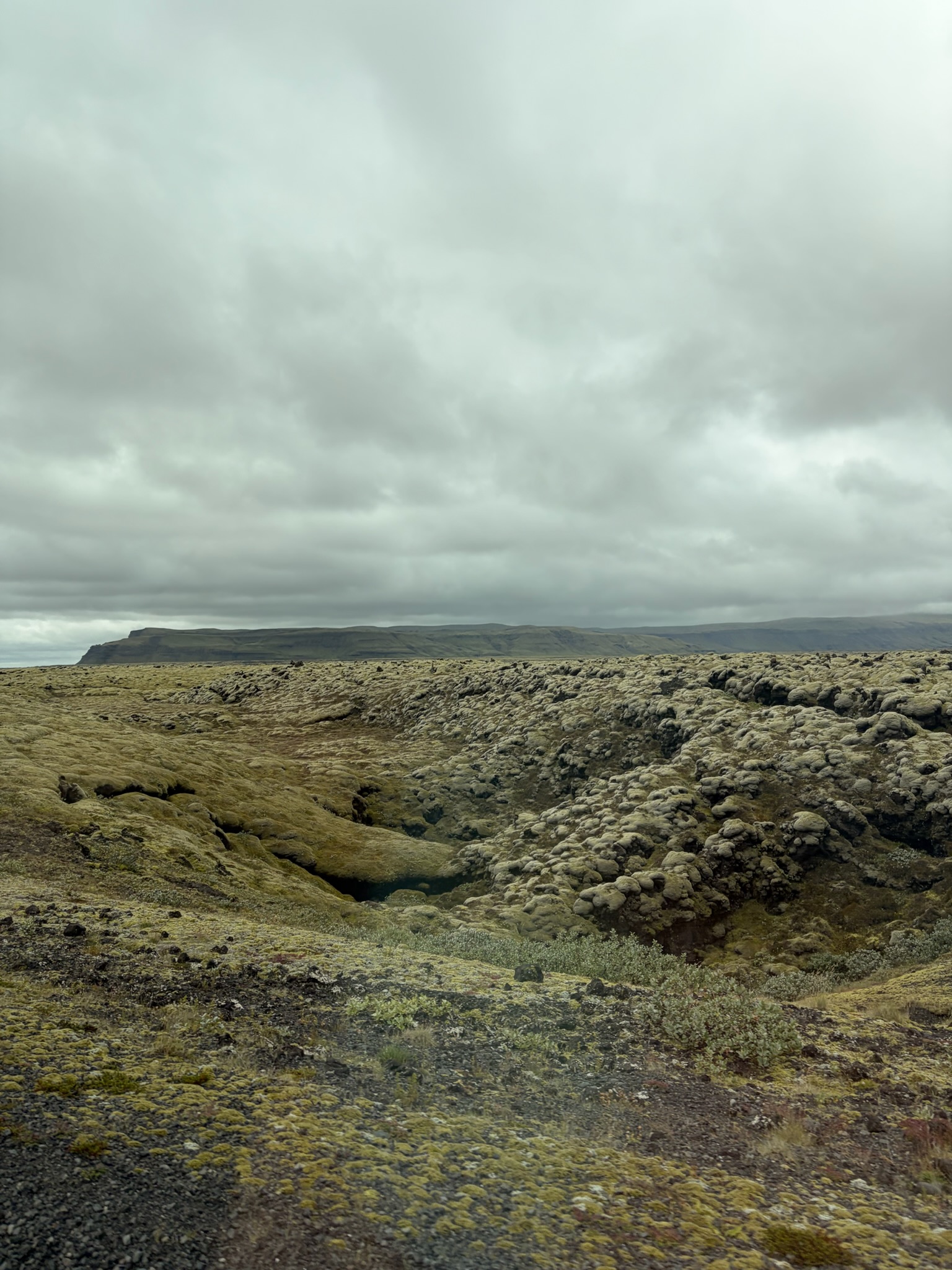
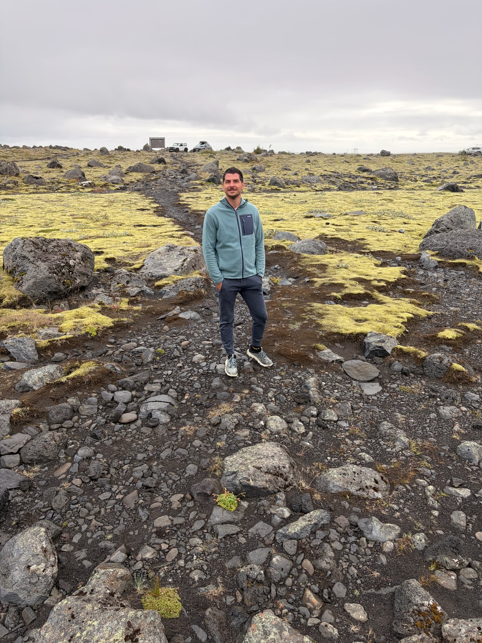
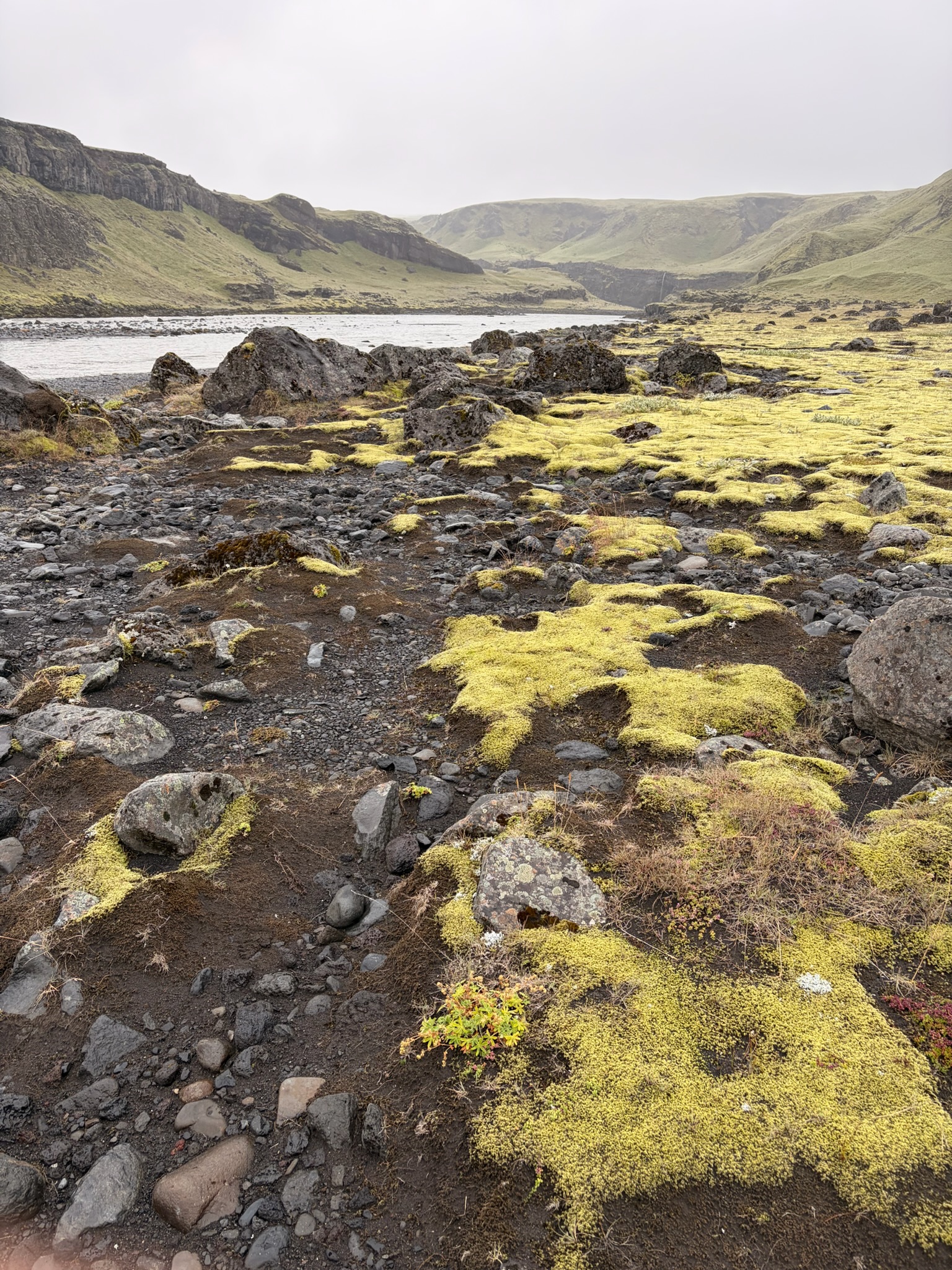
Die ständigen Überschwemmungen und Vulkanausbrüche haben aber auch zur Folge dass hier immer wieder “fruchtbarer” Boden hinterlassen wird - und wenige Kilometer weiter, lassen sich wieder die wunderschönen grünen Farben Islands sehen:
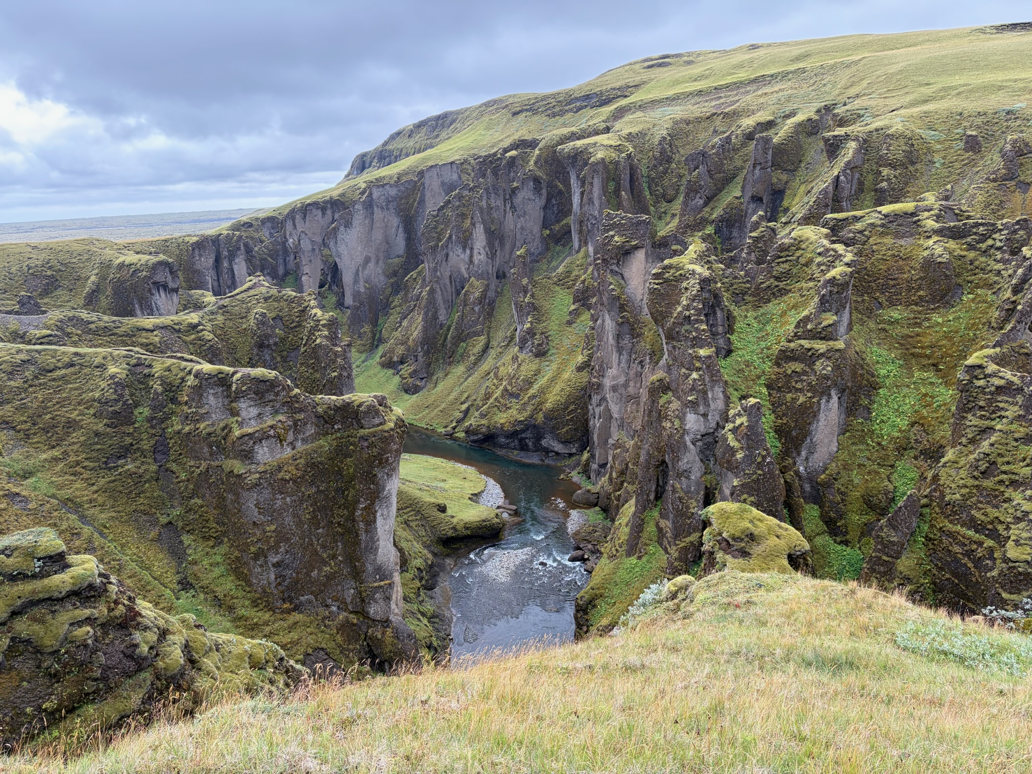
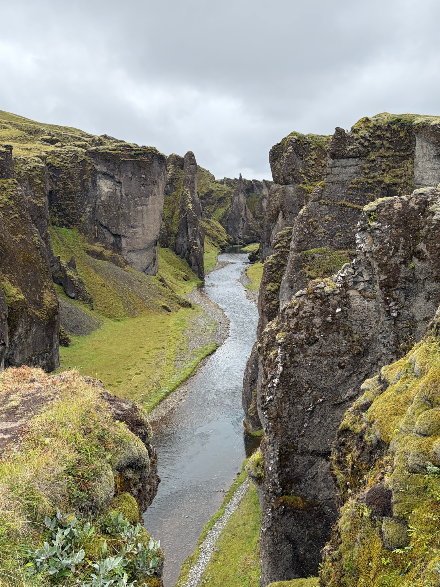
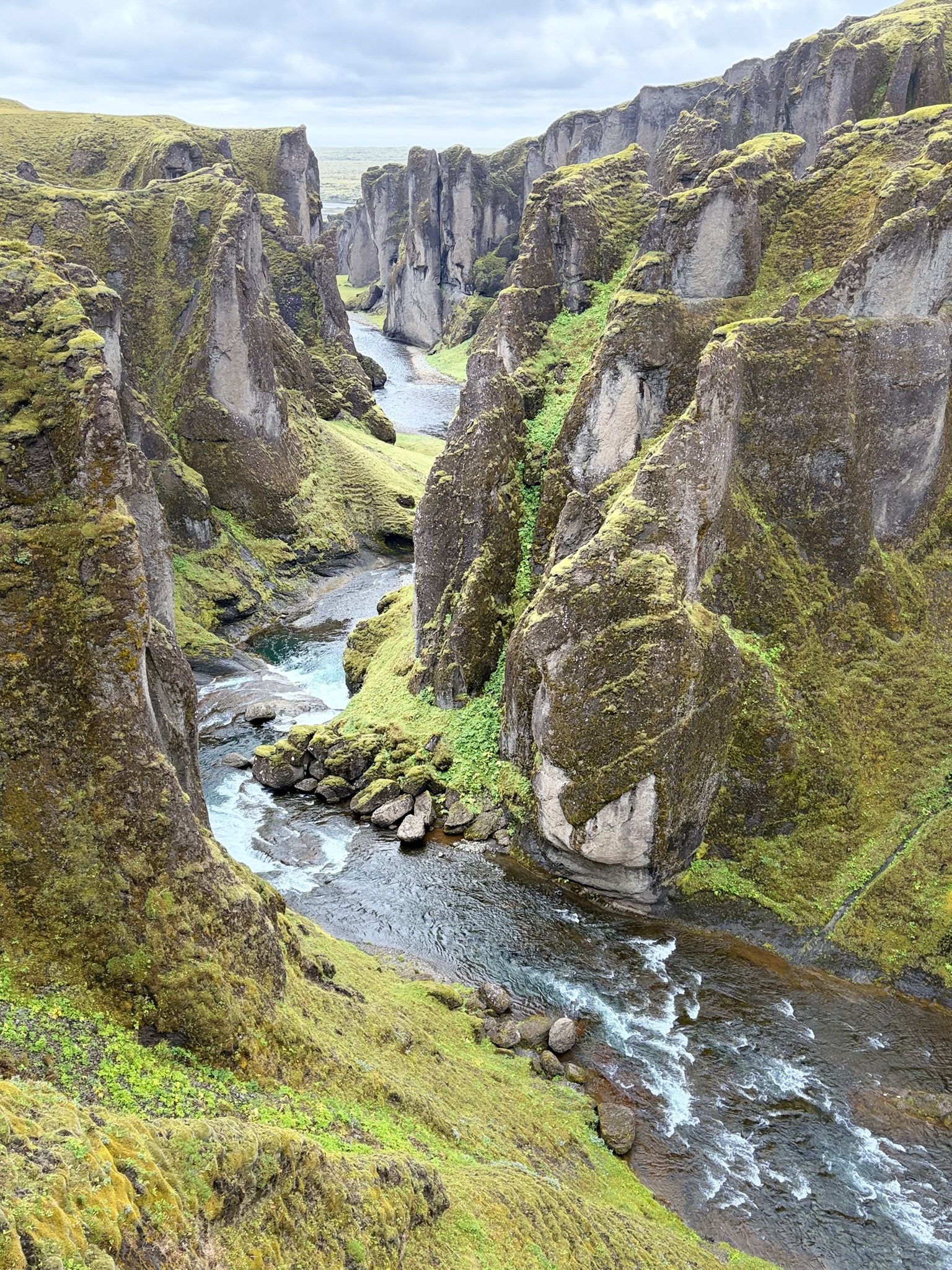
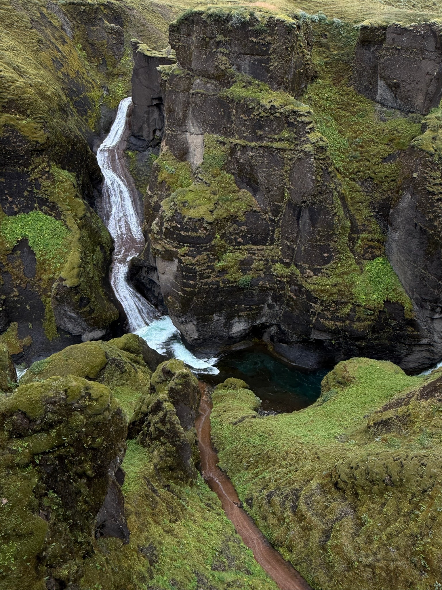
Nun aber zum tatsächlichen Highlight dieses Tages - der “Fjadrargljufur” Canyon - wie schon erwähnt einer DER Drehorte in GoT wo Daenerys mit ihrem Drachen rumflog - dementsprechend spektakulär haben wir uns diesen Ort auch in “echt” erwartet - und unsere Erwartungen wurden übertroffen. Hier wieder weniger Worte - denn Bilder sprechen wie immer mehr als tausend Worte:
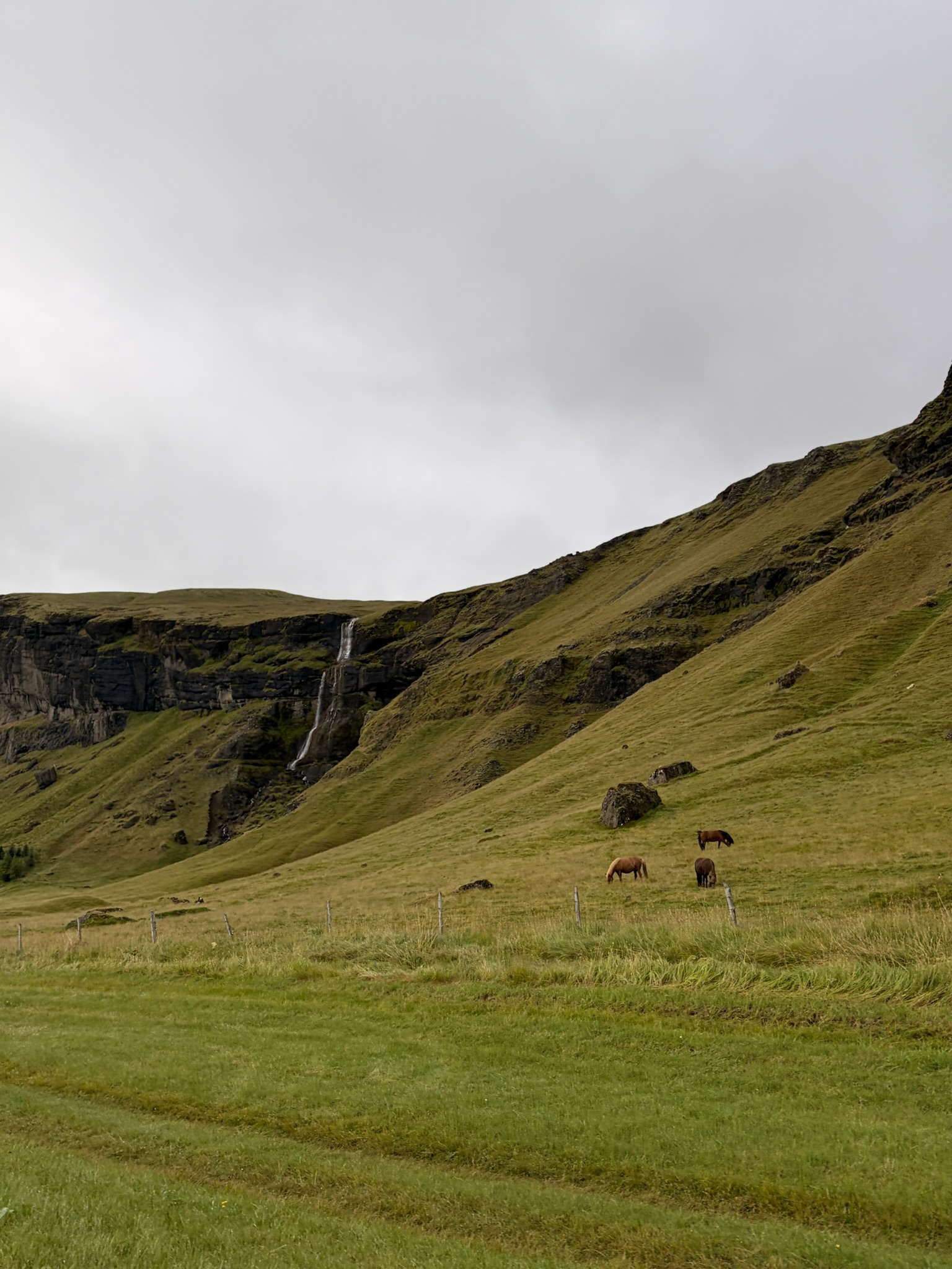
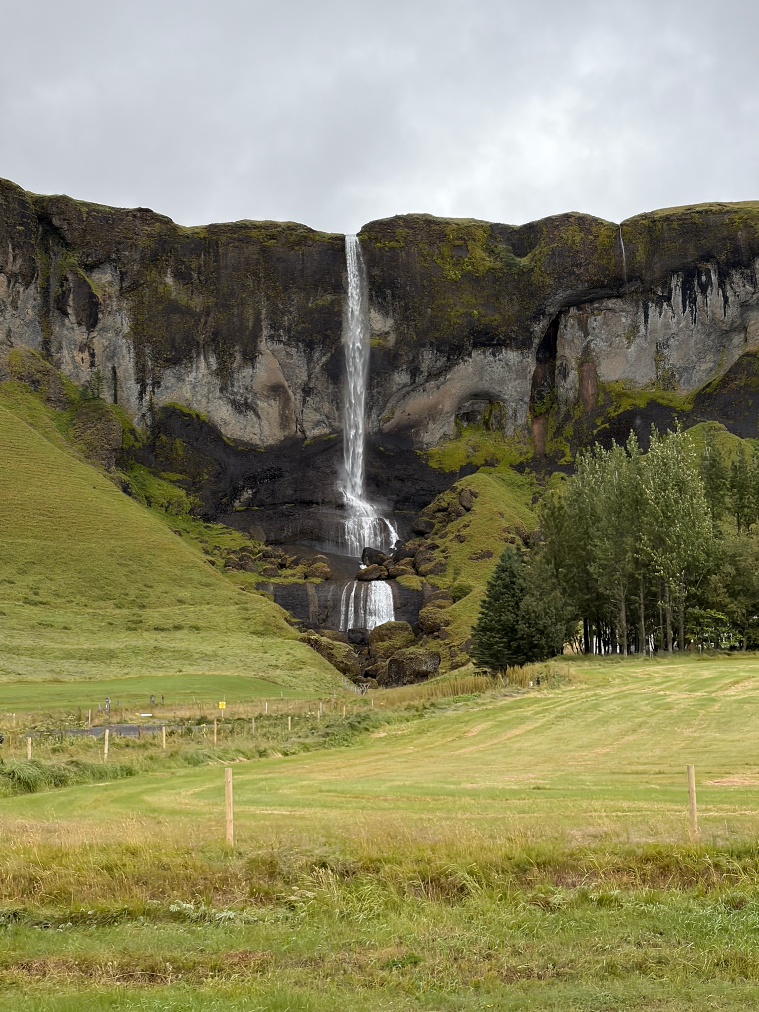
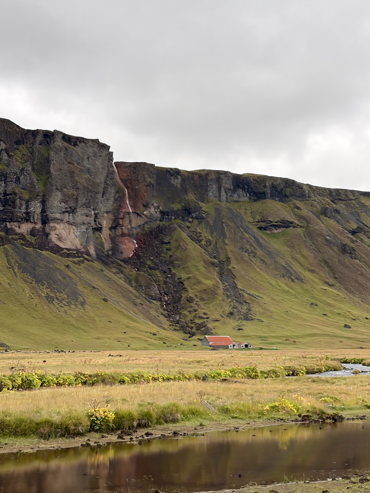
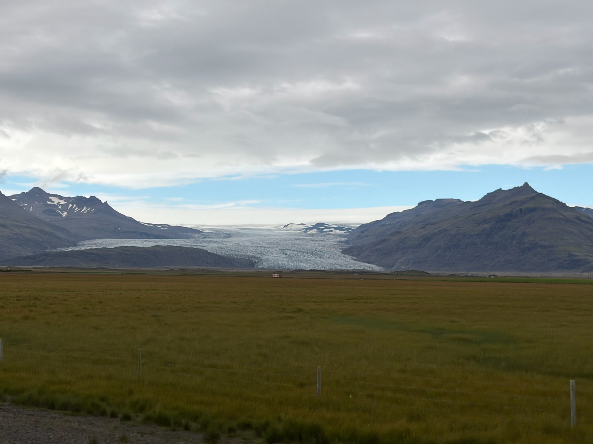
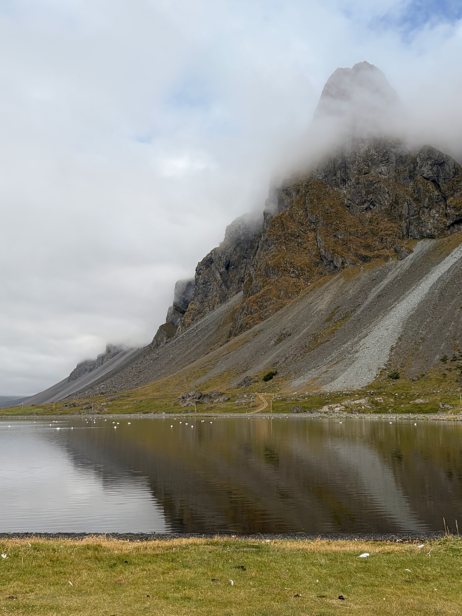
Ein schöner Tagesabschluss und damit ging's nun nur mehr weiter in Richtung unseres Campingplatzes in “Vik". Eine 1-stündige Autofahrt, die aber auch nochmal ein paar schöne Schnappschüsse zuließ. Mittlerweile fast schon der Standard auf unseren Fahrtabschnitten aber wir sind immer wieder begeistert. Folgend ein paar Schnappschüsse davon:
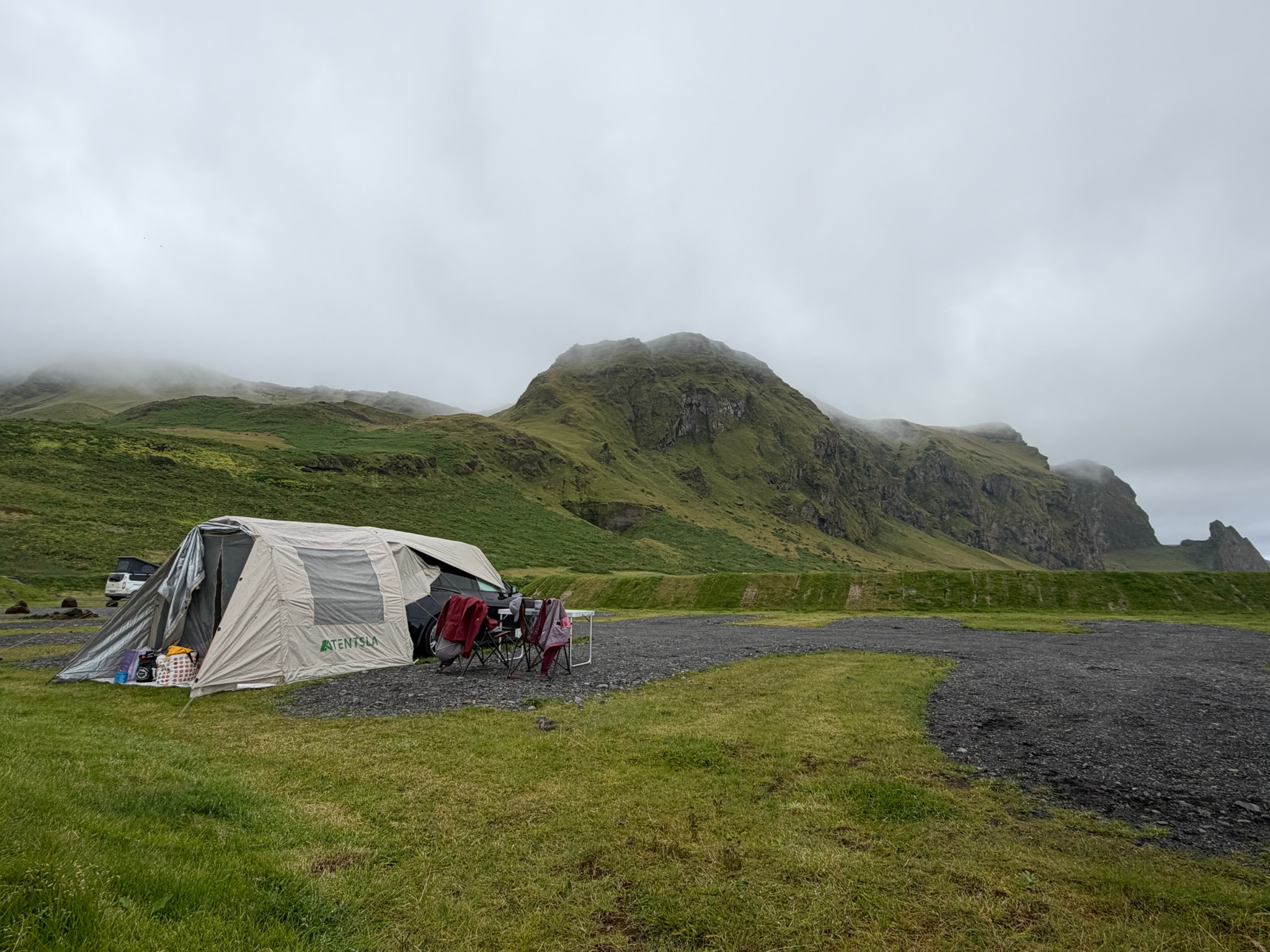
Sodala - endlich angekommen am Campingplatz - natürlich auch wieder mit tollem View. Und damit wünschen wir Euch eine gute Nacht!
After a rather pleasant night at the campsite, we started the day with a classic skyr / banana / muesli breakfast and then set off straight away on a little hike to a nearby waterfall - the "Svartifoss". Since everyone knows what an incredibly motivated hiker I am, my goal was to reach the Svartifoss as quickly as possible. Signposted at the camp as about 45 minutes' walking time, we arrived at the Svartifoss after 24 minutes. Patricia's love of hiking seemed at times a little less happy with that, but that's how even I enjoy hiking. (in return, we then enjoyed the time at the waterfall and its surroundings all the more).
The Svartifoss is a typically Icelandic waterfall which in this case is made of "inverted" basalt columns. Basalt is the rock that forms when volcanoes erupt, develops vertical cracks as it cools over time, and takes on this typical hexagonal shape. As the rock is exposed to the tides over the decades, parts of these columns keep breaking off, which then creates this unique form. (explained in a heavily simplified way, of course - any geologist's stomach will probably turn here - but who cares?)
Below you can see a few impressions of the Svartifoss and the "summit" (a compass embossed on steel with the surrounding popular places):
After that it was back down towards the campsite and from there on towards the Skaftafellsjökull ("jökull" = glacier) - in actually quite a short walking time the end of this glacier tongue would have been visible, but unfortunately we were surprised by fairly heavy rain, which then persuaded us to turn back. From a distance, though, we could still catch a few glimpses of the glacier lake with ice floes floating in it:
Because of the rain, after a quick shower we decided to break down our camp and head towards our next stop. The next stop was a fairly well-known Game of Thrones filming location and a place that has already appeared in many other films and music videos. We're talking about a canyon called "Fjadrargljufur". On the way there we crossed the seemingly ENDLESS outwash plains south of the Vatnajökull.
As Patci already mentioned in the previous article, the Vatnajökull is Europe's largest continuous ice cap / glacier - covering 10% of Iceland's entire land area. If you spread the glacier's entire volume over all of Iceland like butter, you'd cover the ENTIRE land area of Iceland with a 30-40 m (!!) thick layer of ice. (a fun fact told to us by a ranger)
This unbelievable mass of ice naturally means that, due to human-made climate change and the resulting warming, large parts of the glacier melt and this meltwater collects in certain areas beneath the glacier. Additionally, this can of course also happen due to geothermal activity (volcanic eruptions) and has happened about 80 times in the last 800 years. These so-called "outburst floods" (Jökulhlaup) flood huge areas of land south of the glacier, turning these areas into uninhabitable outwash plains / wasteland.
Hence also the title of this blog - hardly any place would serve better as a filming location for "Smaug's wasteland" - but see for yourself:
Here you can see a section of the area on Google Maps that counts as "outwash plain" and thus uninhabitable land - in total about 100 sq km:
But the constant flooding and volcanic eruptions also mean that "fertile" soil keeps getting left behind here - and a few kilometres further on, Iceland's beautiful green colours show themselves again:
But now to the actual highlight of this day - the "Fjadrargljufur" canyon - as already mentioned, one of THE filming locations in GoT where Daenerys flew around with her dragon - accordingly spectacular we expected this place to be "for real" too - and our expectations were exceeded. Here again fewer words - because pictures, as always, speak louder than a thousand words:
A lovely end to the day, and with that it was only onwards towards our campsite in "Vik". A 1-hour drive, but one that again allowed a few nice snapshots. By now almost the standard on our driving stretches, but we're thrilled again and again. Below a few snapshots of it:
There we go - finally arrived at the campsite - of course again with a great view. And with that we wish you a good night!
Bis bald!
Jürgen